01
Architects & Designers
Reliable existing-condition data for renovation, refurbishment, redesign and extensions.
- + Existing building analysis
- + Scan-to-BIM workflow
- + Remote coordination
Professional 3D building documentation on Mallorca for architecture, renovation, insurance and property management. We record the building as it stands today, so the people responsible for it can plan, document and protect it.
Status — Reality capture, Mallorca-wide
“Plans show what should exist. We capture what actually exists.”
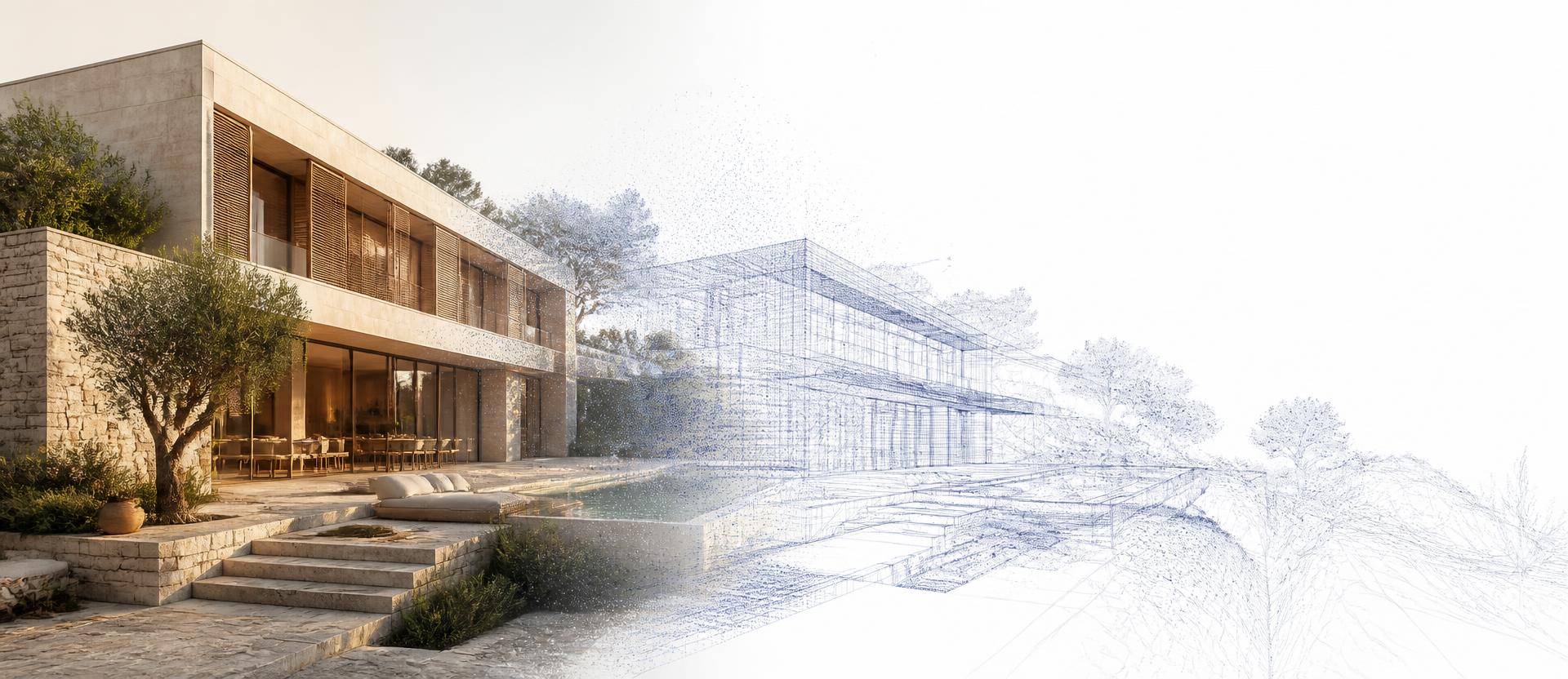
Matterport Pro3 LiDAR
Capability 01
3D Reality Capture
Capability 02
CAD / BIM Compatible Data
Capability 03
Private Documentation
Capability 04
Mallorca-Wide Service
The problem
Renovation, refurbishment and extension projects routinely begin with documentation that is missing, outdated, incomplete or simply wrong. Walls have moved, openings have changed, services have been rerouted, and the drawings in the file describe a building that no longer stands.
We produce a precise digital representation of the property as it is — so that planning, pricing and decisions rest on the actual building.
01 — Input
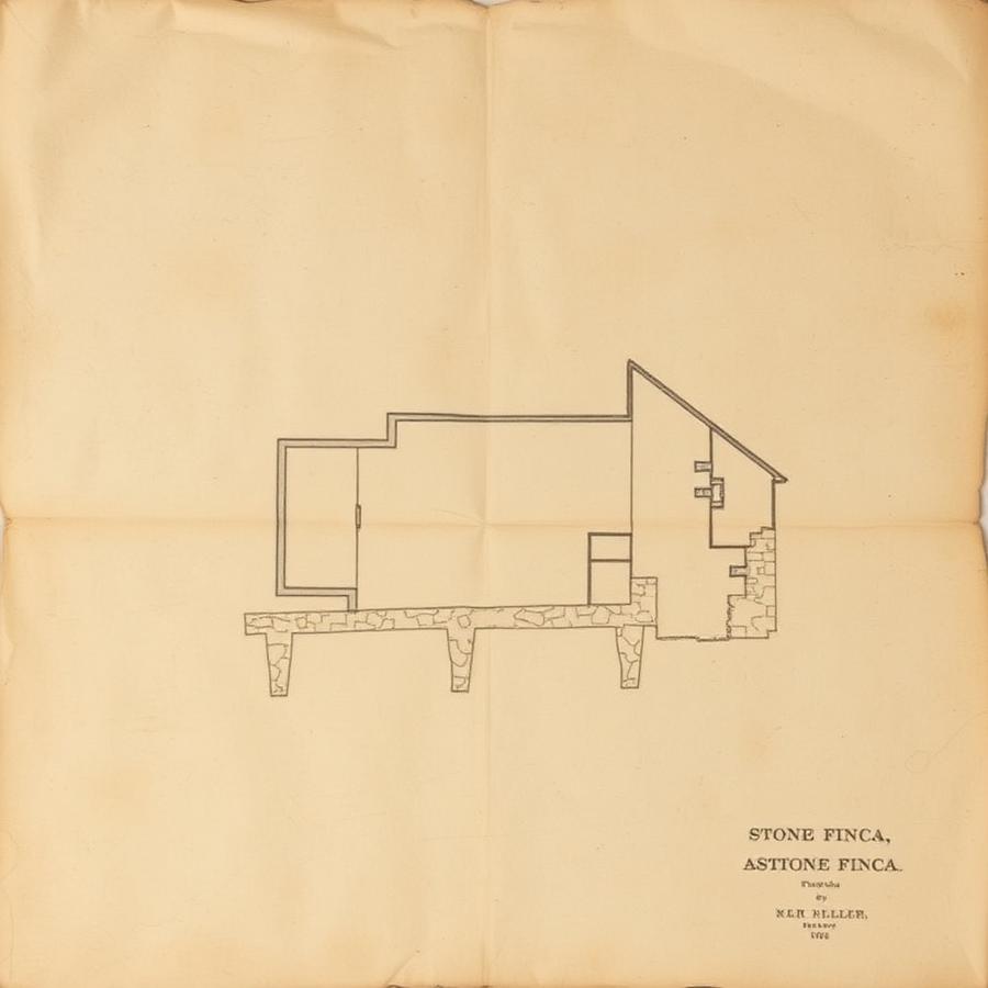
Missing, superseded, or no longer matching the building on site.
02 — Capture
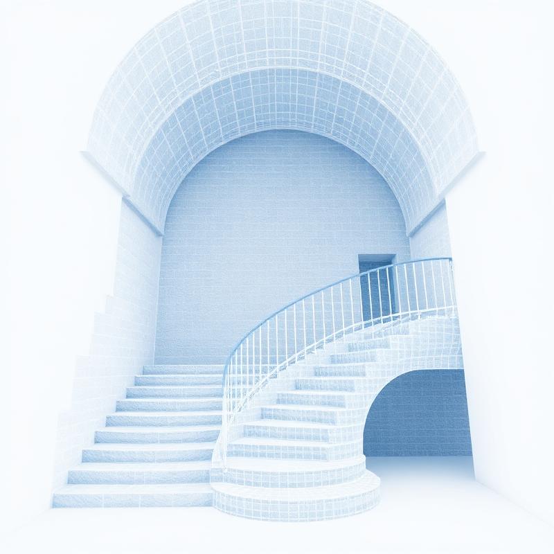
LiDAR-based capture records geometry and condition as found, in one session.
03 — Output
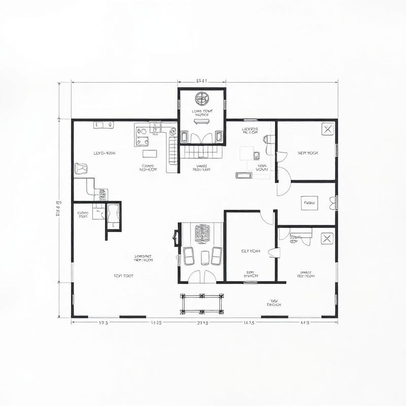
A dated digital record that architects, contractors and owners can work from.
Applications
Index 01 – 06
Reliable existing-condition data for renovation, refurbishment, redesign and extensions.
A detailed digital reference of the property before and during construction works.
A private, comprehensive digital record of a high-value villa, finca or estate.
Supplementary documentation of condition and contents, captured before an event.
Remote understanding of the building for managers, technicians and contractors.
Selected hospitality and commercial properties under renovation or maintenance.
Architecture & renovation
A single capture session gives the design team the existing condition in a form they can interrogate for the length of the project: geometry, levels, openings, structure and visible services, all in one coherent dataset.
Formats are agreed with the practice before capture, so the data arrives ready to reference rather than requiring a separate conversion process.
Digital property record
High-value properties contain a level of specification that no folder of documents captures: commissioned joinery, stone finishes, integrated technology, custom kitchens, landscaping structures.
A digital property record holds all of it spatially, at a known date, as a private asset. It is not a listing and it is not published.

Property & facility management
Many Mallorca properties are second residences whose owners live in Germany, Switzerland, the United Kingdom or Scandinavia. Management decisions are made at a distance, often from photographs.
A digital twin gives managers, technicians and contractors one accurate reference for the whole building.
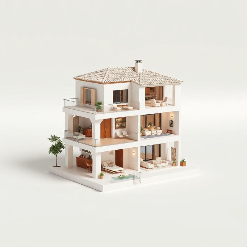
Outputs
Deliverables are scoped per project. Several derived outputs are optional add-ons, quoted individually.
| Deliverable | Format | Status |
|---|---|---|
| Interactive 3D digital twin | Hosted capture | Core |
| 2D floor plans | PDF / DWG | Core |
| High-resolution documentation imagery | JPG | Core |
| MatterPak bundle | MPK | Add-on |
| Point cloud | XYZ / E57 | Add-on |
| 3D mesh | OBJ | Add-on |
| Scan-to-BIM support | Coordination | Scoped |
Services
Coverage
We work across the island, with a concentration of projects in the southwest and in the Tramuntana.
Technical note
Matterport Pro3 LiDAR capture produces precise spatial documentation suitable for planning, coordination, technical management and record-keeping. It is a professional reality capture method.
It is not a substitute for certified land surveying or for specialist survey equipment where very high-precision or legally certified measurements are required. Where a project needs that, we say so and recommend engaging a surveyor alongside the documentation.
Project communication
On-site appointments, property walkthroughs and project coordination are available in English, German and Spanish — making collaboration straightforward for international owners, architects and project teams on Mallorca.
On-site service in EN · DE · ES
Request a Project Assessment
The more precise the brief, the more precise the assessment. Nothing here is published.
Projects are individually assessed and quoted.