Raw spatial data
Point Cloud Data on Mallorca
Registered LiDAR point clouds delivered in E57 or XYZ for use in CAD, BIM and 3D modelling environments.
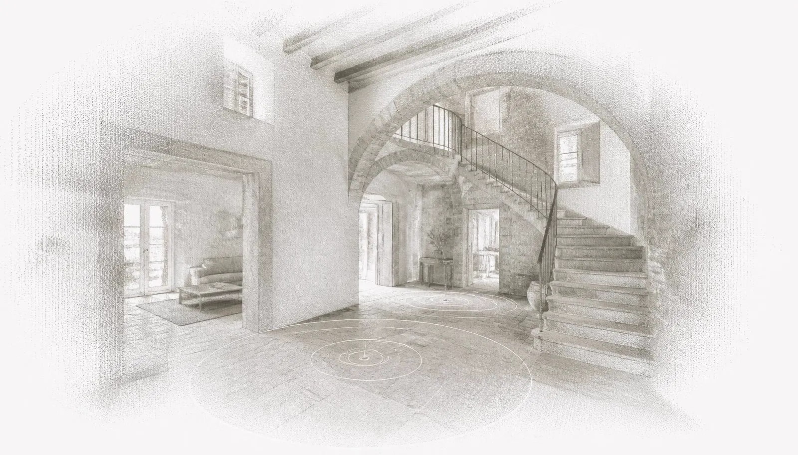
What you receive
A point cloud is a dense set of measured points describing the surfaces of a building. Each point carries a position and colour value. Together they form a spatial reference that can be loaded directly into design software and used as the base geometry for drawing and modelling.
Clouds are delivered registered — the individual scan positions are already aligned into one coherent dataset.
Formats and handling
E57 is the usual choice for CAD and BIM environments; XYZ is used where a simpler, portable dataset is preferred. File sizes for a full property are substantial, so we agree delivery method and any decimation with the receiving team.
- +E57 registered point cloud
- +XYZ point cloud
- +Optional decimated variant for lighter reference use
- +Structured file naming and delivery notes
What point clouds are good at — and what they are not
Point clouds are excellent for understanding real geometry: out-of-square walls, sagging beams, irregular openings, level differences. They are a documentation and design-support dataset, not a certified survey product, and should be described as such in project documentation.
Questions
- Are point clouds included in every project?
- No. Point cloud exports are optional outputs and are quoted individually per property.
- How large are the files?
- It depends on property size and scan density. A full villa dataset commonly runs to several gigabytes.
- Can you decimate the cloud for lighter use?
- Yes, a reduced-density variant can be supplied alongside the full dataset.
Related services
Request a Project Assessment
Tell us about the property
The more precise the brief, the more precise the assessment. Nothing here is published.