For design teams
3D Scanning for Architects on Mallorca
Existing-condition data delivered in the formats your practice already works in, so design work can begin from reality.
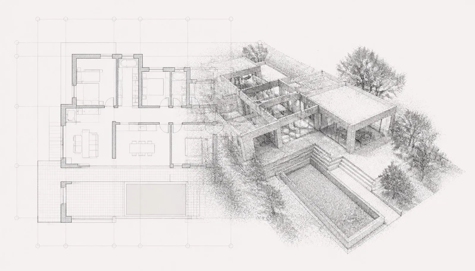
Where the survey time goes
Manual existing-condition surveys consume disproportionate design time: repeated site visits, missing dimensions discovered at the drawing stage, and a slow accumulation of assumptions that only surface during construction.
A single capture session replaces most of that. The building remains available to the team as data, and questions that would previously have required another trip can be answered from the model.
Delivered into your workflow
We agree formats, units and coordinate handling with the practice before capture. Deliverables are then prepared to slot into the software the team is already using rather than requiring a parallel process.
- +E57 and XYZ point clouds for reference in CAD and Revit
- +OBJ mesh for context modelling and visualisation
- +Schematic 2D plans as a drafting base
- +Consistent naming and a structured file handover
Typical project types
Renovation and refurbishment of existing villas, extensions to fincas, conversion of agricultural structures, hotel refurbishment, and the documentation of buildings ahead of a competition or feasibility phase.
Questions
- Can the data be aligned to a project coordinate system?
- Alignment and orientation are agreed per project. Requirements should be raised before capture so the scan sequence supports them.
- Is the point cloud suitable for modelling walls in Revit?
- Yes, for design-stage modelling of existing conditions. For tolerances that require certified accuracy, a specialist survey should be commissioned alongside.
- Do you work under a practice's own NDA?
- Yes. Project confidentiality arrangements are straightforward to put in place.
Related services
Request a Project Assessment
Tell us about the property
The more precise the brief, the more precise the assessment. Nothing here is published.